products
Capital Projects
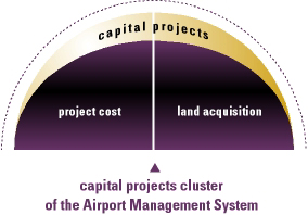
Project Cost
The Project Cost module tracks funding sources, budgets, actual cost, contract draws and contract retention for multiple projects with multiple cost centers. Change orders are separately accounted for which allows the airport to review fixed and variable budgets. Budget variance reports by funding source, project or cost center are available. Revenue Source Accounting tracks funds from their initial source (i.e., federal grant, bond issue, operating revenue) and links these funds to each particular project, whether it be new construction, renovation, or on-going maintenance. Multiple funding sources with specific allocations are available by project and will be applied in user specified percentages as costs are incurred. Received and earned fund balances are maintained. Portions of projects (construction-in-progress) can be capitalized and transferred to the Fixed Asset module automatically. All project detail, including funding source information, follows the project to Fixed Assets as a by-product of capitalization. The Project Cost system receives information from Payroll, Accounts Payable, and Preventive Maintenance/Work Order modules.
Land Acquisition
Many times Airports will acquire land as a part of the compatible use component of their Noise Abatement plan. The Land Acquisition module allows definition of the acquisition process including initial letter of interest, offer, acceptance, escrow, payment relocation and subsequent use. The Airport defines the sequence of events including the levels of review and approval dictated by the Authority and or Municipality. The Land Acquisition module integrates with both the Project Cost and Accounts Payable modules to insure tight control and reporting over funding and payments. In addition, correspondence associated with any transaction may be generated from the Land Acquisition module through your word processing capability. The Land Acquisition module coordinates complex and costly transactions without use of redundant word processing and spreadsheets. Further, the Land Acquisition System may be interfaced to a Geographic Information System (GIS), so that land acquisition phases could be graphically displayed and plotted. Parcels could be color-encoded to depict the offer/purchase status.